Cañada Bonita Drinking Haiku
Looks like rain, oh shit
Maybe happy hour instead
Rode, broke chain then boozed
The Trail

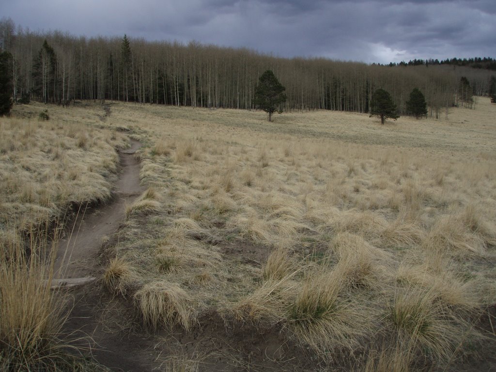
Creepy trees
 This is great place to ride for three reasons 1) ridable pretty much all year (it’s a bad-ass night ride as well) 2) not too many people and 3) close to town (beer). The Dale Ball trail network is as good as it gets for near-town riding for any city. You can park in the lot at the corner of Cerro Gordo and Upper Canyon Rd. Be careful parking here at the end of the day because they close the gate at 7:00 and might lock your car in. In the past, some low-life dude that locks the gate has been hanging out here in the evening offering to let people ride some of the trails in the SF County watershed property (totally illegal to even hike there) – you’d probably need to slip him a joint or something and then you’d most likely end up in jail. This is also the area where a squatter had lived for many years in some crazy house made of cardboard and Schlitz cans. He was only recently booted out of there. The guy was even getting mail delivered to the mailbox he set up on Upper Canyon.
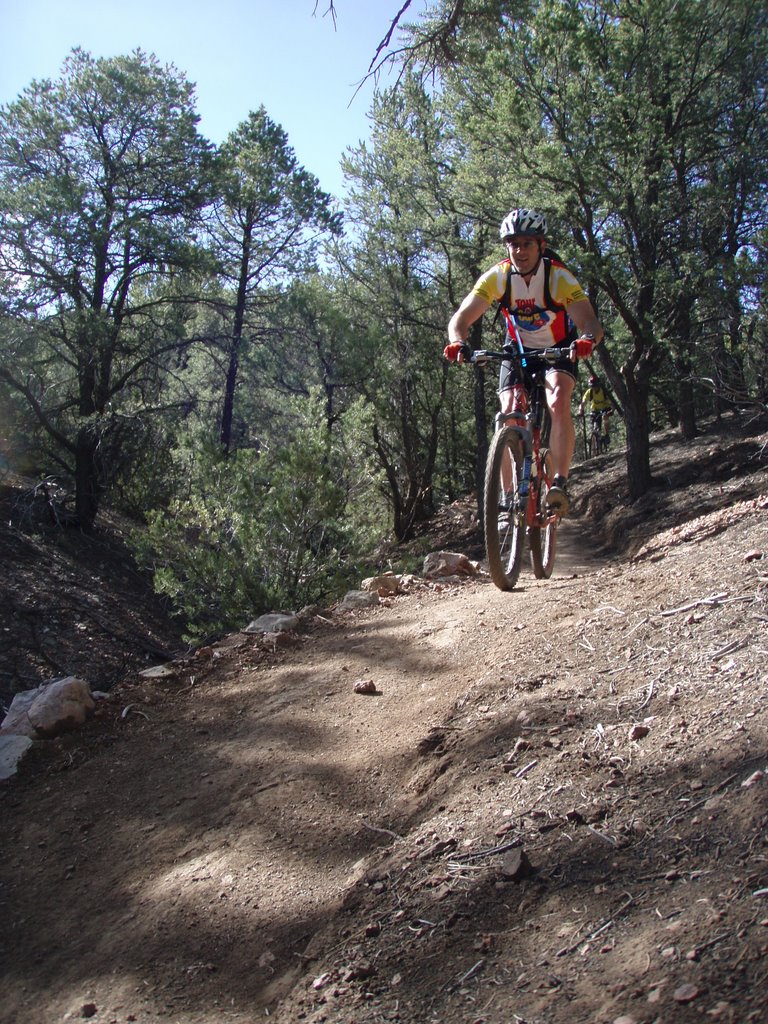 hard to get lost.
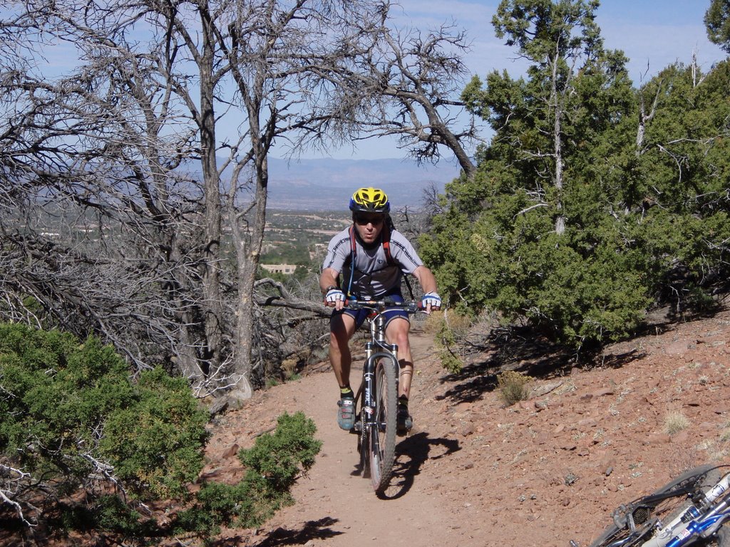 max heart rate is – this fucking mad dog will help you figure it out.
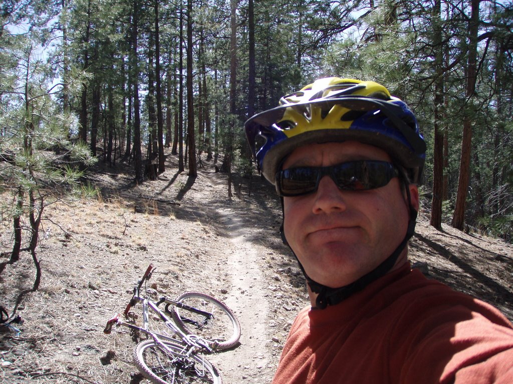
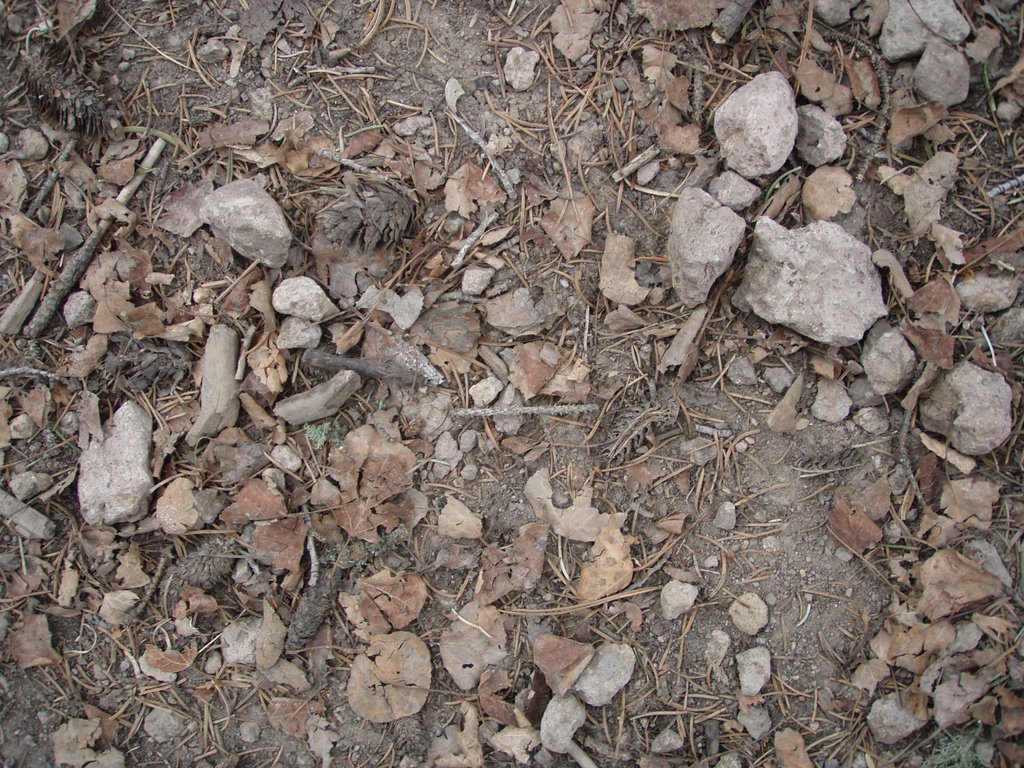
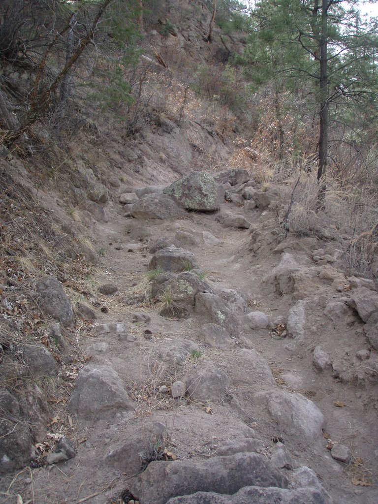
 beers. Start off by riding down the short slope from the parking area and immediately cross the creek bed (usually a little water in spring and early summer). The technical shit starts off right away (see left) as you climb out of the creek bed and eventually on to an old wagon trail which is a grunt for about a 1/4 mile or so. The trail gets smoother and less steep the higher you climb. The climb is about 2-3 miles, mostly pretty gradual. There may be a few forks in the trail (most of them are pretty overgrown these days) - but if in doubt, stay left. The trail pops out onto a south-facing slope that was burned in the Cerro Grande fire and there may be a few snags that
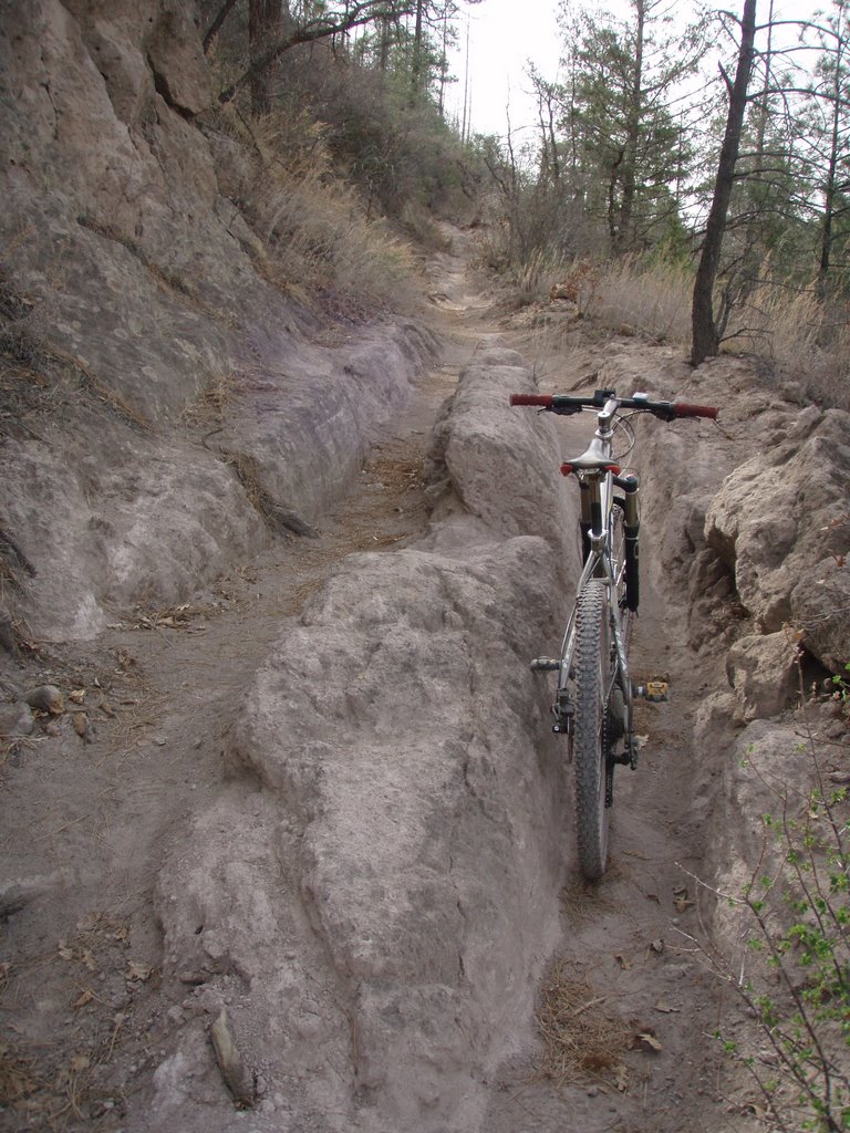
 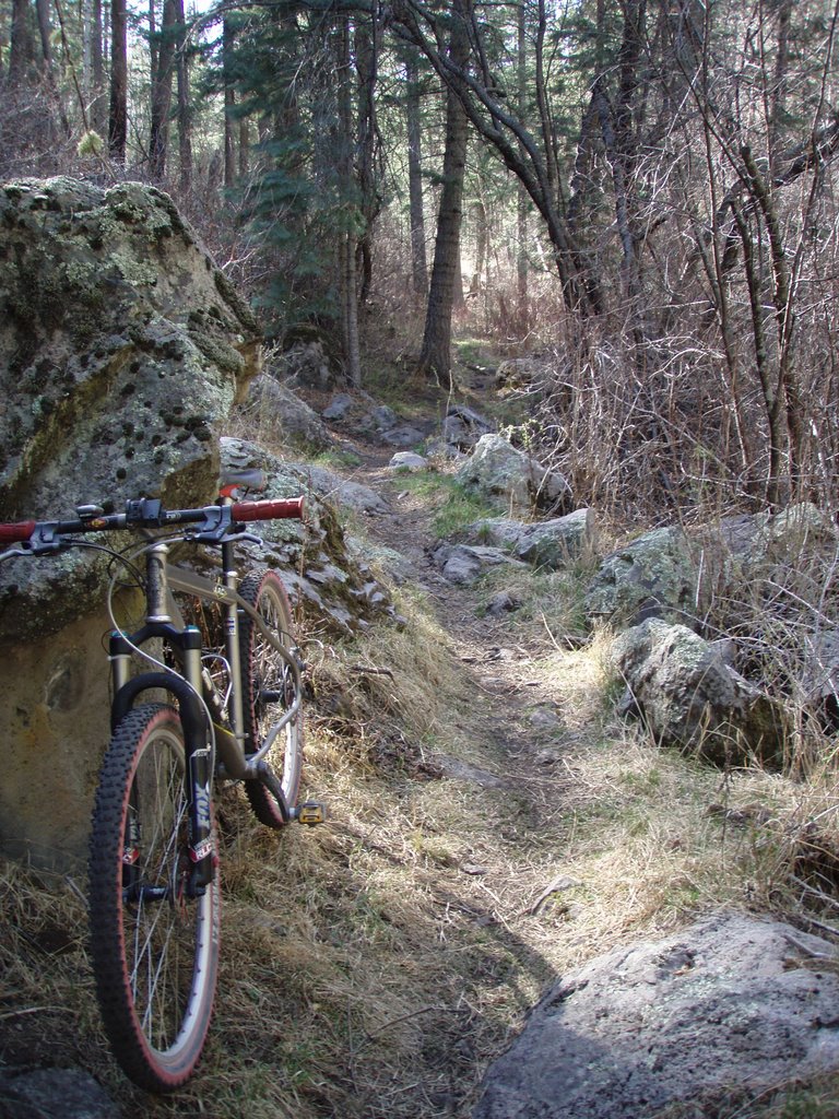 have fallen across the trail - usually no big deal. As you are crossing this slope you will hit the high point of the ride- then, with Pajarito Canyon on your left you will start to drop into this narrow-assed canyon. The trail is fast and twisty with lots of shit to run into (see bottom right). The trail crosses the creek a few times through some really steep drops and eventaully ends up in the slimey Berth Kanal - if you see it you'll know why its called this. This part of the canyon is narrow and dark and is also a popular place for climbing. The Berth Kanal spits you out on a short sweet section of singletrack that eventually heads back to the parking area or connects with the perimeter trail.
 again".
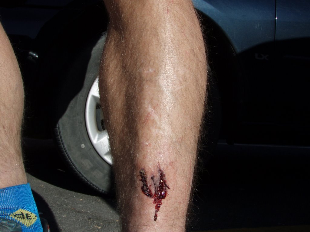

 hang a right at the sewage treatment plant and come back up Pueblo Canyon to Los Alamos - some pretty sick rock formations up Pueblo Canyon if you like things that look like large penises - I know some of you do!
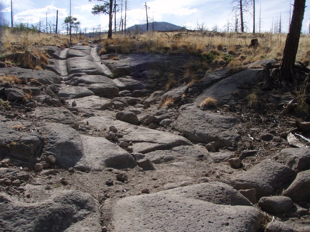
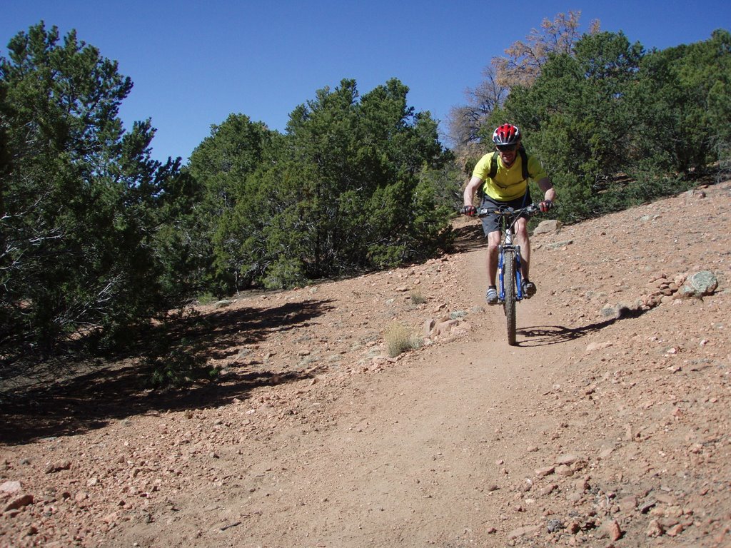
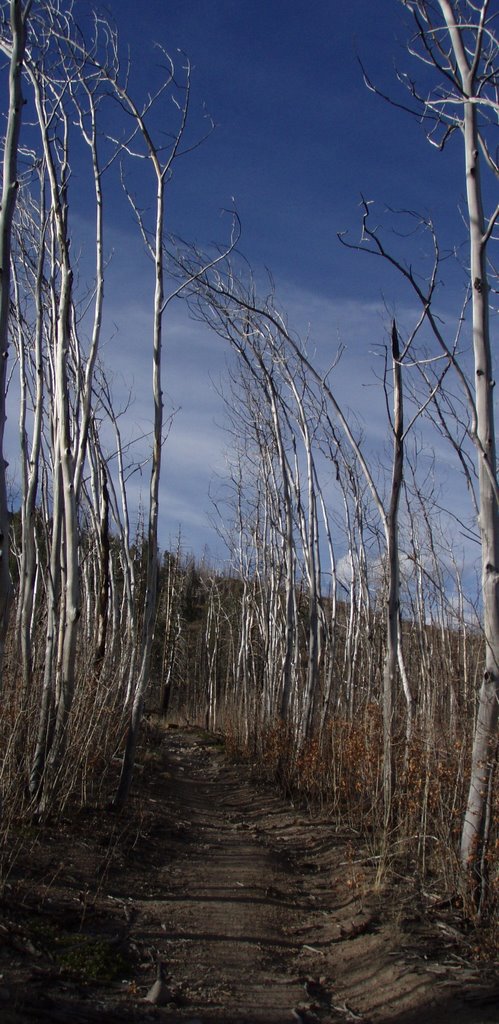 Unfortunately this is an area that was hit hard by the Cerro Grande Fire - it got torched - it's like being on planet Raisa but without the trees, grass, furry animals or hot chicks. That's fine though because you won't be looking at any scenery on this ride - you'll be concerned about cleaning the next section, and then the next and then the next -
  it does not let up. The actual trail is only 3 miles but to make it in under 40 minutes is pretty tough. It starts in town and heads west toward the ski area and LA Canyon and finally intersects Pipeline road (not really a "road" anymore) - which is just an extention on the Quemazon burliness. The fire left tons of snags along the trail that continually fall across the trail - I'd be careful if heading out on a windy day. Depending on how recent it has been cleared (thank you TuffRiders www.tuffriders.losalamos.com) you might need to bust out your best Hans Rey impersonation to clear any downed trees. Le vere alli!
Usually around this time of year Jen and I would getting ready to head out on a spring trip somewhere - The past several years (especially since moving to New Mexico) we've headed down to Mexico (the "old" one) for a week of biking and marathon taco eatin'. For a mountain bike trip that combines authentic culture, good food, good beer and good weather - you can't beat Copper Canyon. It's an easy 7 hour drive from El Paso, a little longer from Columbus (NM) and longer still from Nogales. Good roads all the way no matter which route you take. We've taken all three.
There are two w ays to do this trip, either drive down on your own or go with one of the many tour companies that run "adventure" trips there (REI, Western Spirit and Remolino are a few). If you want to do it right and make it a "real" adventure drive there on your own. It's very easy and safe and you will save mucho dinero over doing it with a organized group. You just need a decent vehicle if you want to decend into the canyons - a truck, SUV or even a Subaru will make it with no problems. 4WD might be nice if it rains - but not n
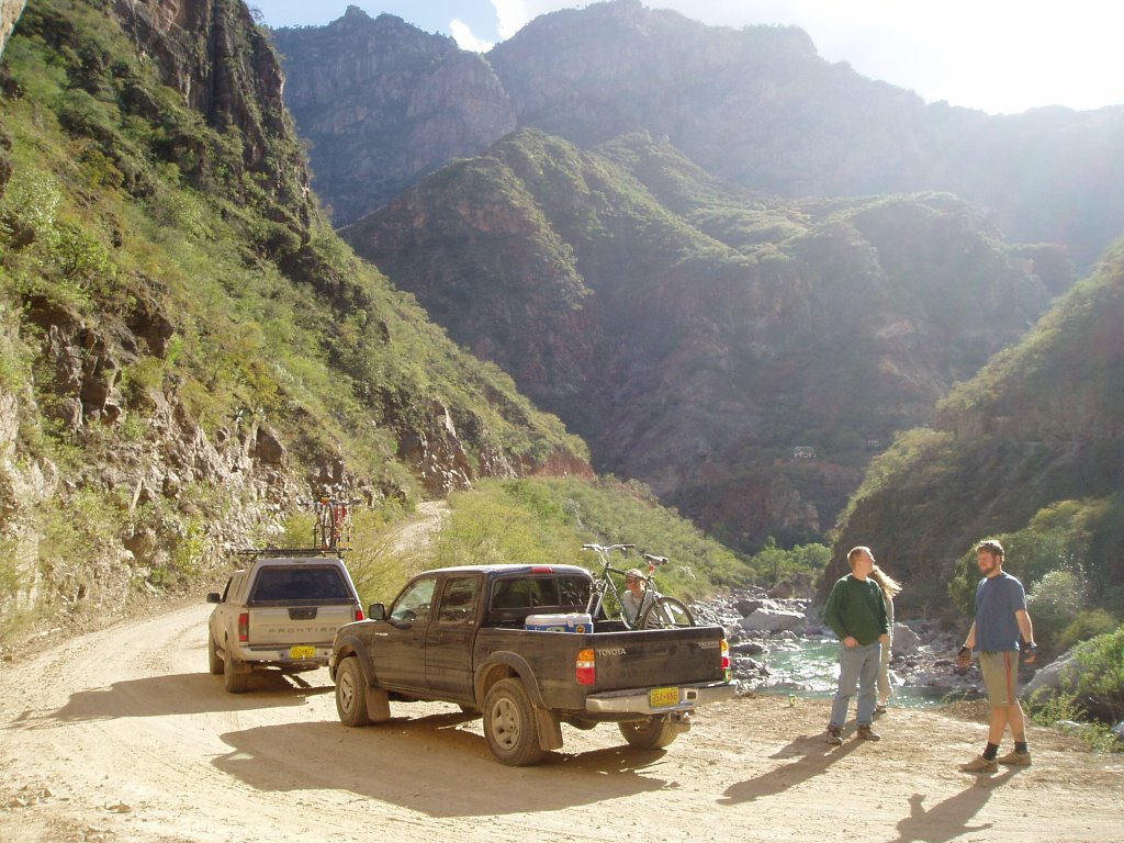 ecessary.
The Copper Canyon area is pretty amazing in the fact that it is so close to the US border, yet not many Americans make the trip. Honestly, I think most Americans are scared to visit "wild" portions of Mexico - especially those that don't have a Club Med or a Hard Rock Cafe. That's fine - more room for the rest of us - we don't want to see your "ugly American" asses there anyway. Most of the Americans we've seen there are either part of a tour group or are stopping over on the Los Mochis - Chihuahua train.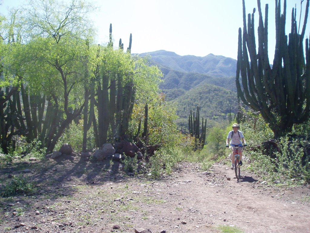
The town of Creel is sort of the "base" for which to explore the canyons. There ARE tourists but mostly from the Sierra Madre - Copper Canyon rail line that runs right through town - it's not overwelming though. The area around Creel is a good place to explore. The town is surrounded by a web of singletrack that radiates out in all directions. You CAN get lost, so if heading out, I would plan on doing an out-and-back ride while keeping track of how to get back to town. The easiest (and most popular) area to ride are the mesas on the east side of town. Check out my trail review on www.mtbr.com to see the best way to find the trailhead(s). Areas you can ride to are Valley of the Monks (vertical volcanic tuff spires), Valley of the Mushrooms and the church at San Ignacio. Easy riding to all three either by dirt road or singletrack. Other riding in the area includes Cusarare Waterfall and Rinconata hot springs - ask in town how to get to those places. Don't get bummed if you're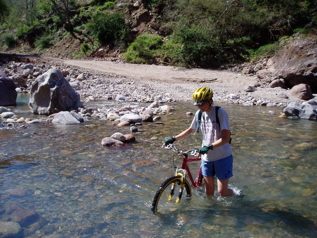 grinding some hill outside of Creel and a local kid passes you like Tinker Juarez - leaving you in the dust. He'll probably be riding the most beater bike you ever saw - three sizes too big, no seat, stuck in one gear, riding just the rims and barefooted. There are two races held in Creel every year, 12 hours of Basachki (April) and La Onza (July) and the Mexican National Championships were held here a few years back. They wouldn't race here if the biking sucked - now would they?
 Don't vist the area without making the trek to the bottom of one of the canyons (unless you're there in the summer - way too frikin' hot). The town of Urique is at the bottom of Urique Canyon and Batopilas is at the bottom of Batopilas Canyon (makes it easy). For biking, most people hit Batopilas. Although it's just a dirt road, the desent down to Batopilas is pretty amazing. Start riding where the pavement ends - you'll need to climb a few small hills at first - but then the big downhill to the river at the bottom - awesome. Batopilas is dry and warm with banana, mango, citrus trees
 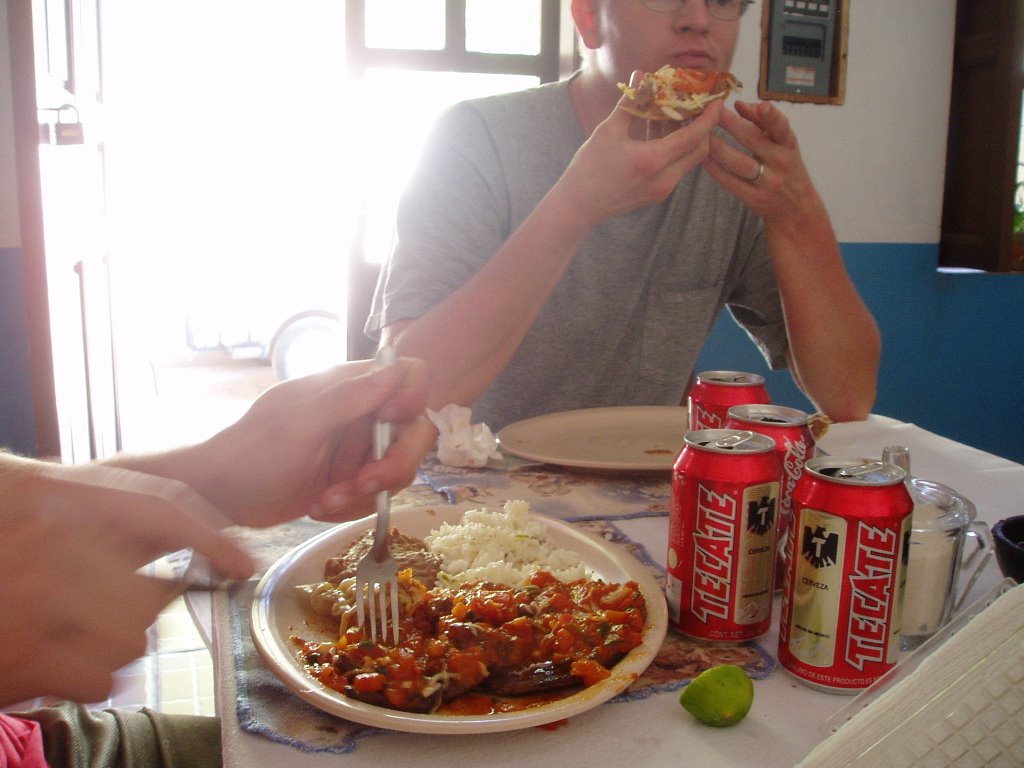 growing and there are also parrots. In the spring the rivers are full which makes water crossings nice if it's a toasty day. Good swimming too. The two main rides are to the Mission in Satevo (very easy) and Cerro Colorado (moderate). There is a trail from Cerro Colorado that heads up and over into Urique Canyon - looks to be about 50 miles. Has anybody done it? I've only seen it on topo maps, but I know they run an ultra marathon on it. I'd like to ride it someday. Check out www.mtbr.com for better descriptions of the Batopilas trails.
 More info on driving to Copper Canyon can be found on www.owa.com .
Check it out - don't be a sissy. It's a trip you will NEVER forget.
Beers Consumed: Tecate, Carta Blanca (caguamas), Sol, Pacifico