July 10, 2006

Gunnison Dirt - "Who's thirsty?"


After three days of depressing weather in CB we decided to head south to the land of milk n' honey - Gunnison. G-spot baby. In the morning we filled up on the "extra special breakfast special" at a local cafe and headed out to Hartman Rock. The trail was great and we even got a decent amount of sun. After riding for about four hours we figured we had ridden almost all of the trails - all of which were super fun and super fast. It was a good call to do this ride since looking up the valley toward CB - it didn't look like the shit storm was letting up any. After considering a Monarch Crest ride the next day, we decided to motor back to NM since it looked shitty up in that direction as well.
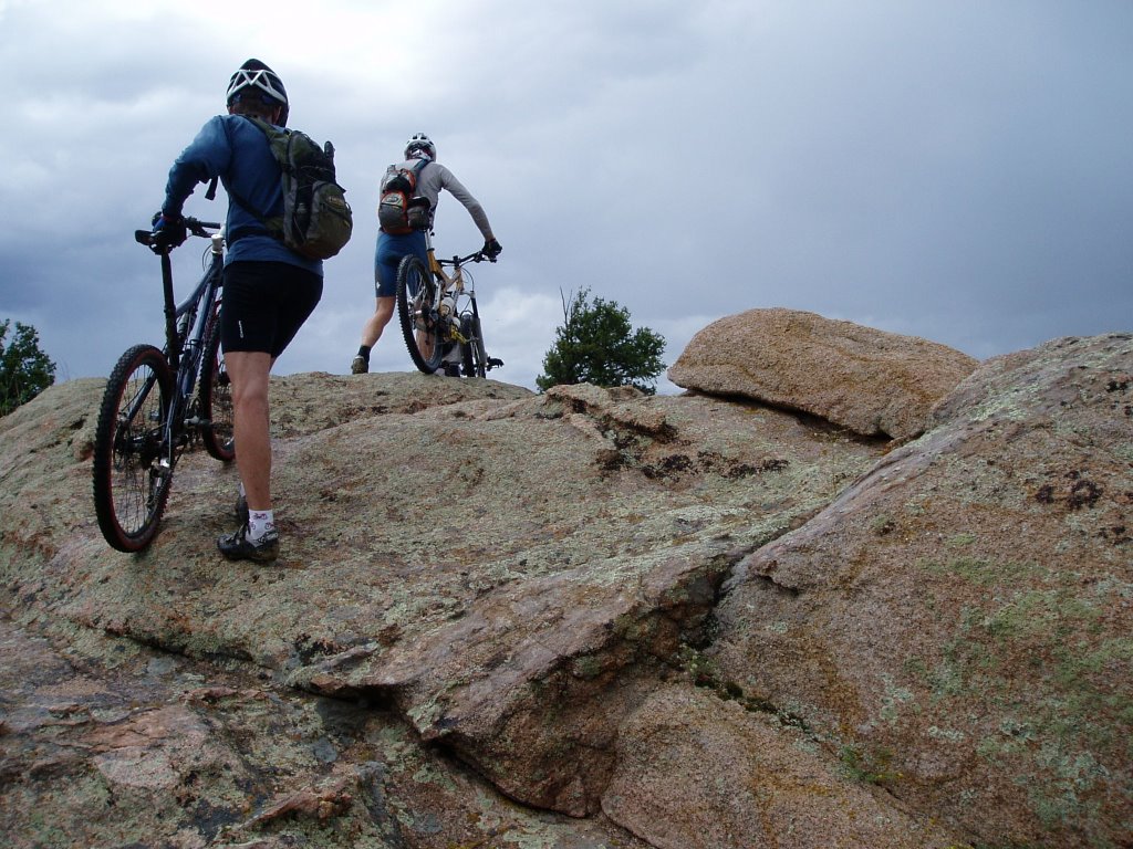

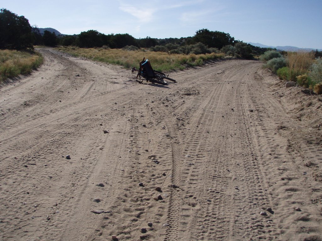
no trail - no problem. We were just glad to be out of the rain


Slickrock sweetness


Lots of crazy high speed banked corners


Smooth and dry baby


mountains bad...desert good

Crested Butte Dirt - "Hey man - I think it's clearing up!"

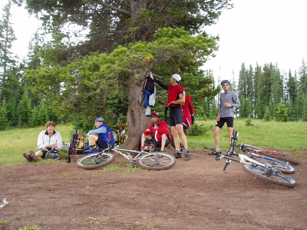
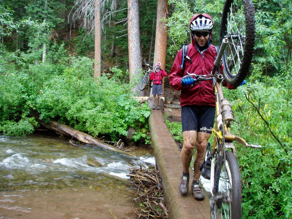
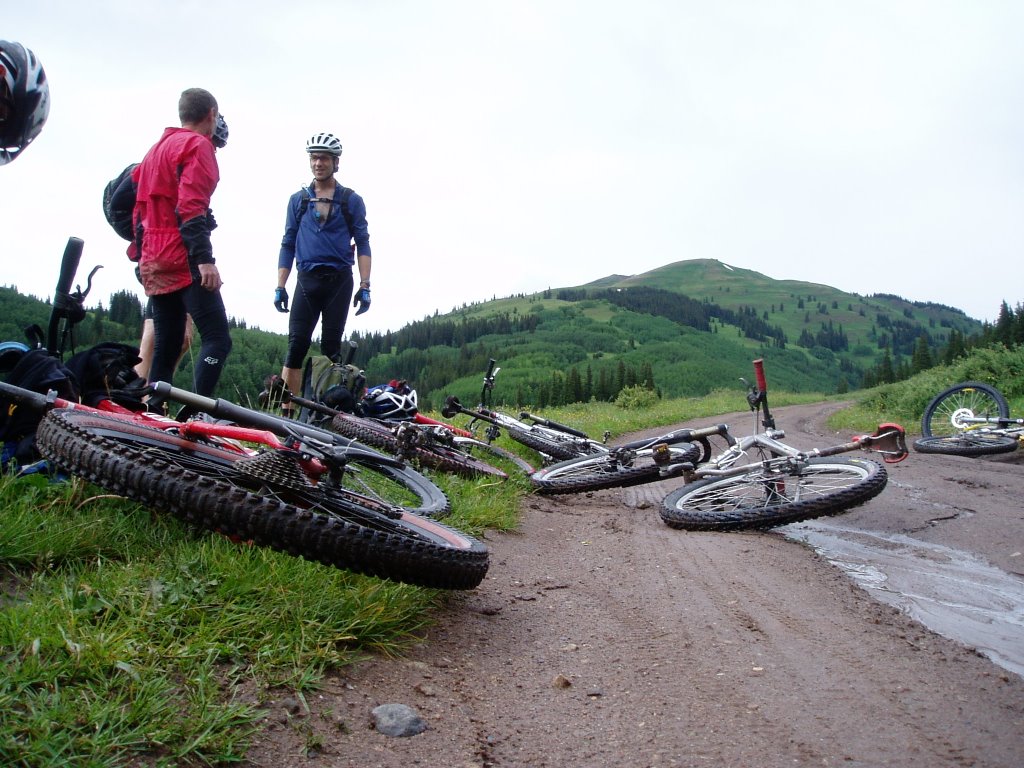
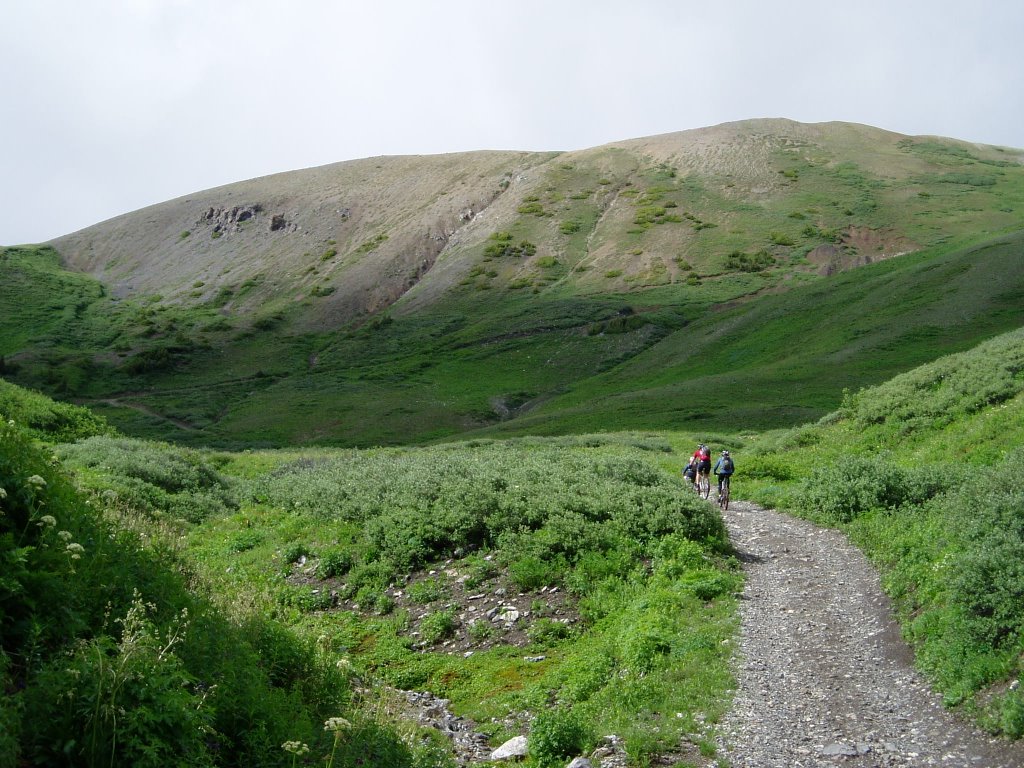
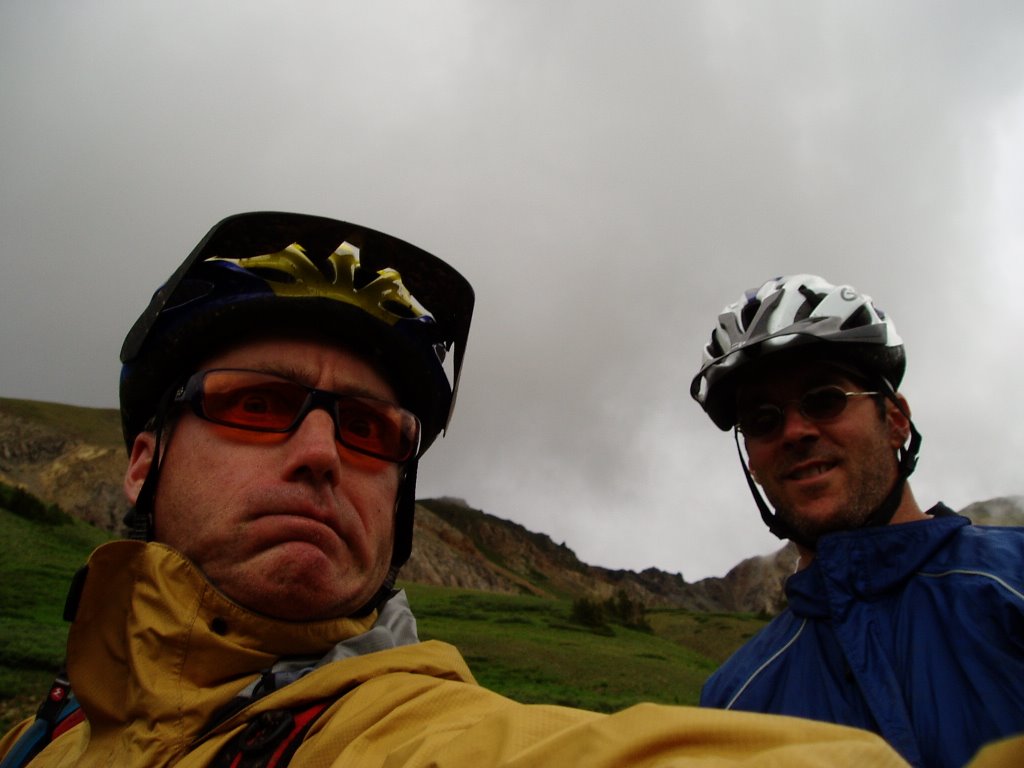
Tarp-bound for three days. I can't think of any better way to spend a long weekend. We came to love the tarps. The tarps were our friends. When we closed our eyes at night, all we saw was blue...yes, blue...... tarps. We picked a bad weekend to try to tackle a few epic rides in Crested Butte - a freak multi-day shit storm stayed over the area for the entire time. We hunkered under the tarps to stay dry and when a patch of "lighter" clouds appeared, one of us would never fail to say "Hey man, I think it's clearing up". It never did. Beers were opened way too early. The first day we managed a 2.5 hour ride in the ridge behind camp and back down a nasty little muddy-as-hell singletrack. By the bottom, everybody needed new brake pads. Day two started with...um....rain! We headed into town for brake pads. While there, we saw our shadows cast by this crazy ball of light in the sky. We busted ass back to camp to grab the bikes but by the time we got there the ball of light turned to small drops of water coming out of the sky and out of the coners of our eyes. Then there was a break - we busted a move and headed out east towards Crystal Peak. Two-hour climb and then the rain came back. Dave K, Kevin and Schnieder headed for the peak and got stopped at the saddle where there was beer, cheap tacos and naked ladies - it was raining so they didn't stay long. Meanwhile Me, John and Dave F. headed back and were dry, tarped up and liquored up.


Who needs blue sky when you got a blue tarp?


Safety meeting


Dave and Dave


The start of something good - if you call steep slick mud "good"


Schneider decided to wear his finest white jersey


The break


Holy shit - the sun


Um....nevermind


Dave, Jeff and Kevin tryin' to saddle-up. (Might want to click to enlarge)

June 27, 2006

Los Alamos Dirt - Fireline Trail - Acid Canyon Loop

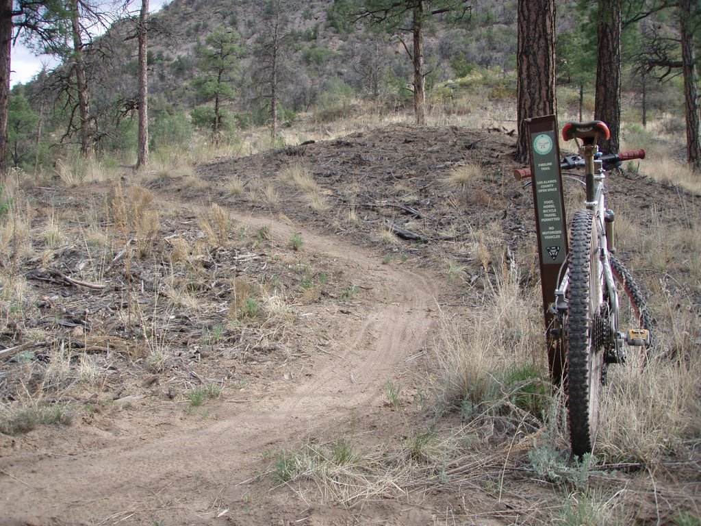
Sometimes it's good to take the low road. East of Los Alamos, into Bayo,Canyon...there it is,
the Fireline Trail. It's new, it's swoopy, it's dusty, it's curvy and it's bad-ass. It's short though. When doing the the Bayo-Acid Canyon loop it's a good way to get off the fire road as you are heading east in Bayo. The sweetness about it - is that you get to check out all the dorky McMansions on the cliff side and just hope and and pray thet you are there when a little mass wasting brings those puppies crashing to the valley floor.

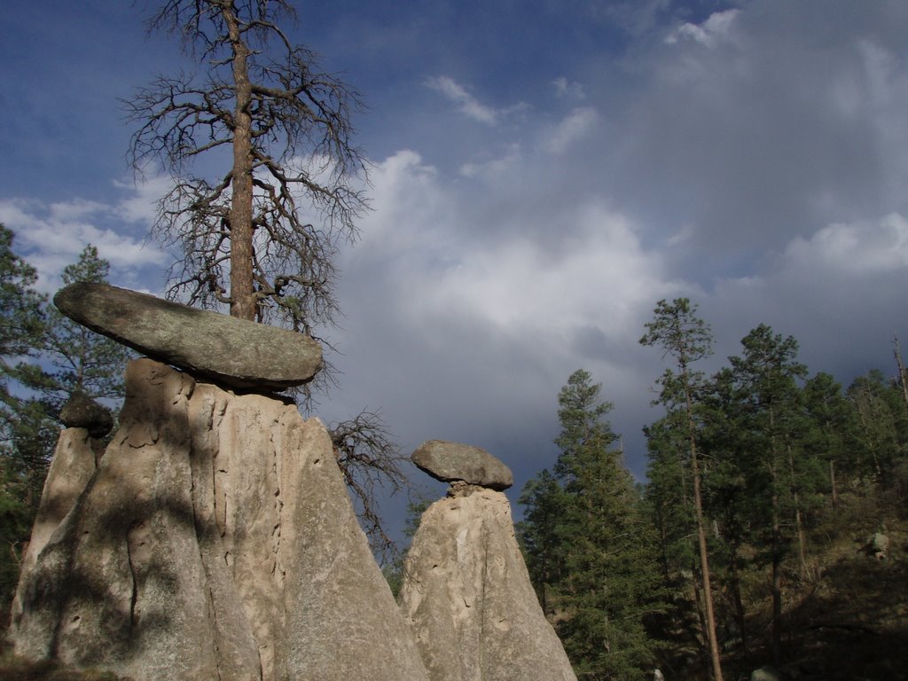
To get there - take the Bayo Canyon trail east from the Los Alamos round about and when you hit the bottom, you'll see it snaking east along the north facing slope of the canyon. It drops you onto the fire road which then takes you to the sewage treatment plant, where, just after that, you will hang a sharp right and head back west up Acid (pueblo) Canyon on a fire road- past the rock penises and up Walnut Canyon and back to town. It's a good 1.5-2 hour loop and you will probably not see anybody - which is always a good thing.


Fireline view...where's the dynamite?


The east end of Fire Line
Acid Canyon is trippy man

June 23, 2006

Velarde Dirt - The Velarde-Truchas Low Road to Taos


In Velarde NM there is a road right across the
highway from the elementary school. You on a bike? - Take it. It's the 4WD road to Tuchas and Ojo Sarco. Summertime? better get yer ass out early before the heat and the rattler's get ya. Wintertime? - yer lovin' it but you may be riding through a little snow towards the top. The road starts out smooth and, up until recently, you would pass through some typical New Mexico scenery, dicarded washing machines,
piles of tires, ATV scarred hillsides etc. Most have this has been cleaned up recently - but it WAS pretty messed up. The ATV jack asses are still there though.

About 1.5 miles from the highway the road drops into an arroyo and unless it's rained recently you'll need to tractor through in your easiest gear - the road goes though several of these all the way up, until you make it into the ponderosas. In the spring there can be LOTS of water. Most of the road is 4WD only and gets rougher and rougher the higher you get. At about 4 miles the road forks, left to Ojo Sarco, right to Truchas - this time I'm going right. Trout town. Climb, climb, climb until you get to a series of three cattle guards then the road mellows a bit and you will be in the pines - and much cooler temps. Another 30 minutes or so the road heads south and kicks up steep through a series of baby-head covered arroyos and then onto a gently sloping mesa for the last stretch into Truchas. I don't really like to ride all the way to town because there is a shit-load mad dogs that are trained to attack white skin. Basically I just turn around and head back the same way. Looooong downhill back to the highway. Round trip, it's about 34 miles. Not the most exciting ride - but it's the best one we have from the house....and you are almost guaranteed not to see another humanoid for at least three hours.....and it's always great to take a dip in the Rio on the way back.

June 14, 2006

At last - the Atlas

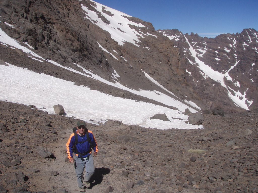
From the coast we headed back to Marrakech and then to Imlil, the base for climbing and treking in the Atlas. We ended up climbing nearby Jebel Tobkul, the higest peak in North Africa. It's a couple of days to do it but luckily there was a refuge for us to stay in since we did not bring a tent, only sleeping bags. The main climb was cold as hell - probably in the 20's with a 40 mph wind and all we had were wind breakers. It's how I imagine climbing in the Alps - lots of rude Frenchies all decked out in moutaineering gear and barely willing to glance at you and say "Bon Jour". Just another reason, I'm thinking, why I don't need to go to Europe.


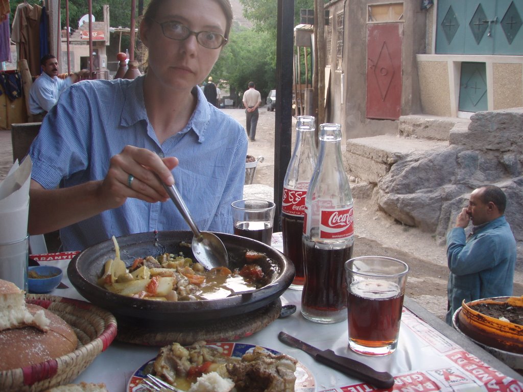
Jen in Imlil grubbing on yet another Tajine (clay pot stew)


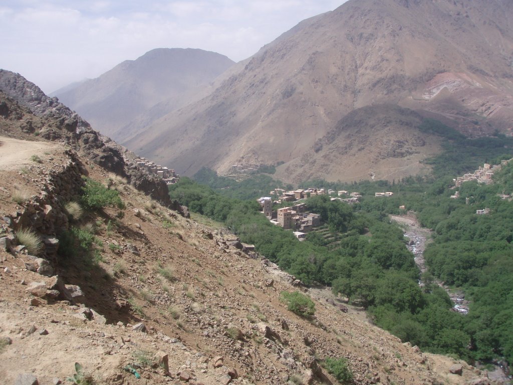
Imlil


Some folks were smart and had their shit packed in


Imlil


Jen at sunrise on Jebel Tobkul - hating life and hating me for haulin' her ass up here. She was the only one I saw that did the climb in tennis shoes!


Looks warm - but not


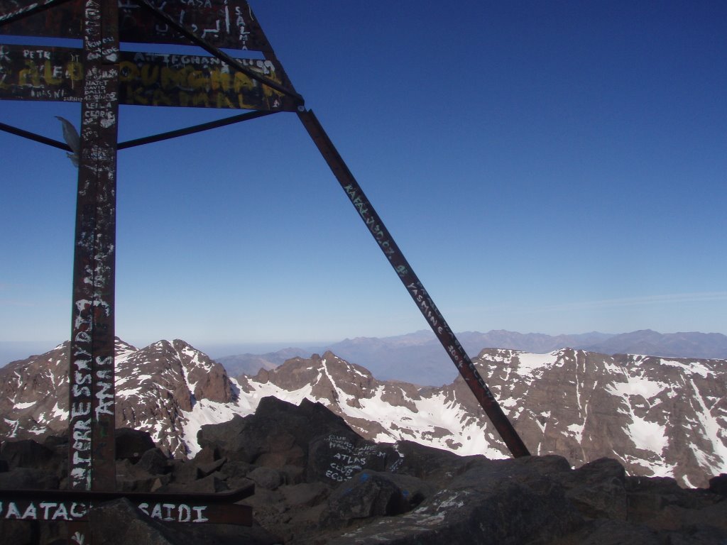
The summit - looks like some people had the extra energy to pack up a few cans of spray paint. Wish they had the energy to carry up a few beers and stash em for me at the top


Back to Marrakech


Chris was right - when we saw these signs in Morocco, we didn't know if we were suppose to "stop" or load up in a tobagan


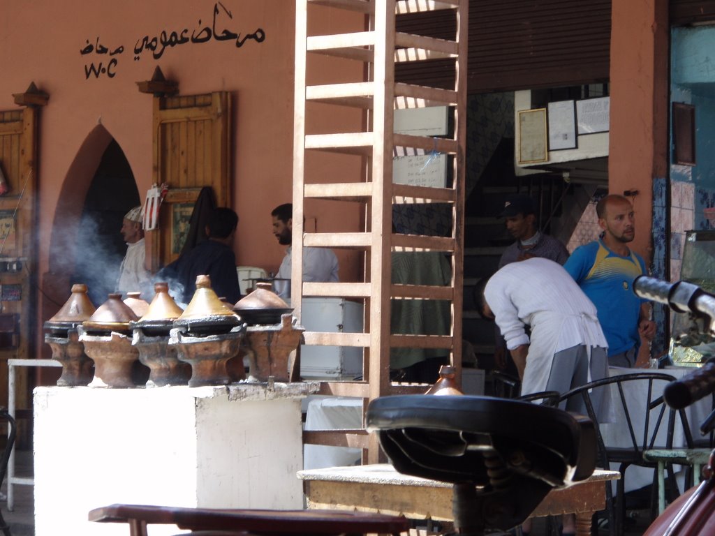
Ta Gene or not tajine, that is the question. Tajine pots cooking away