August 08, 2006

Raton Dirt - More Bears and Beers in the Nuevo Mexico


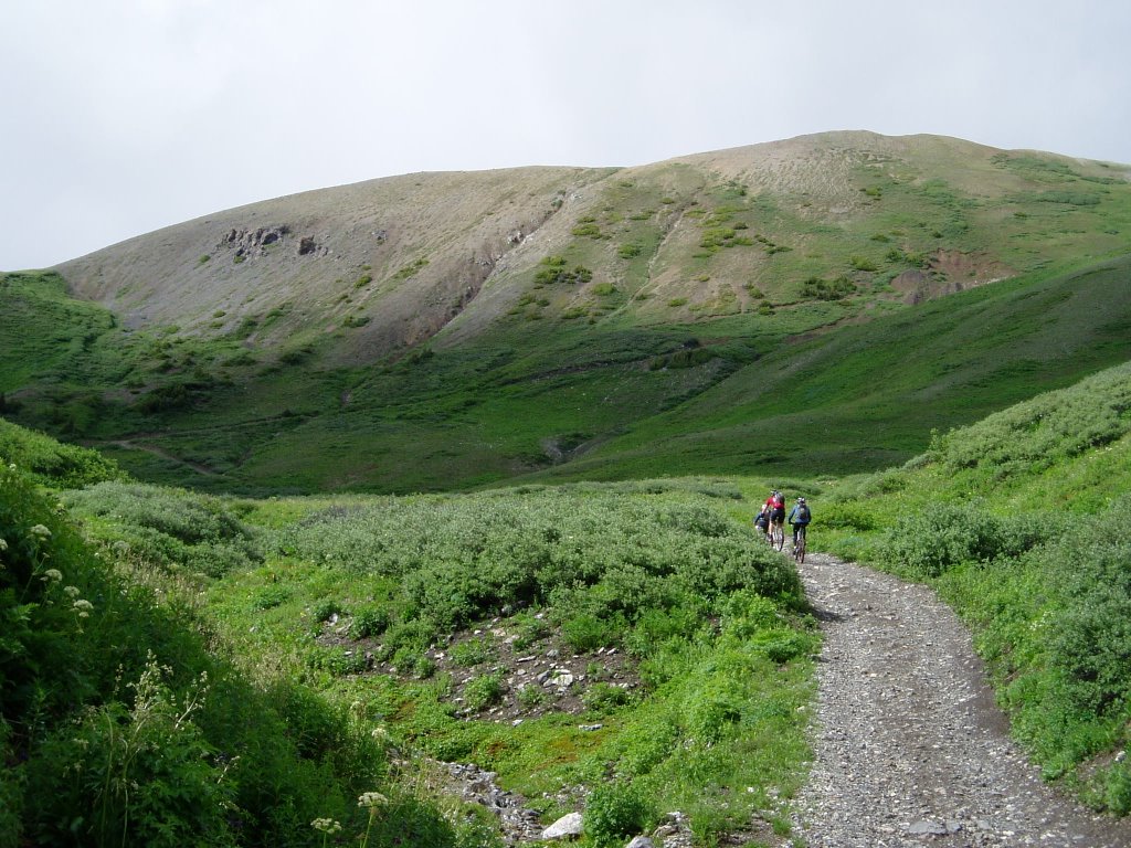
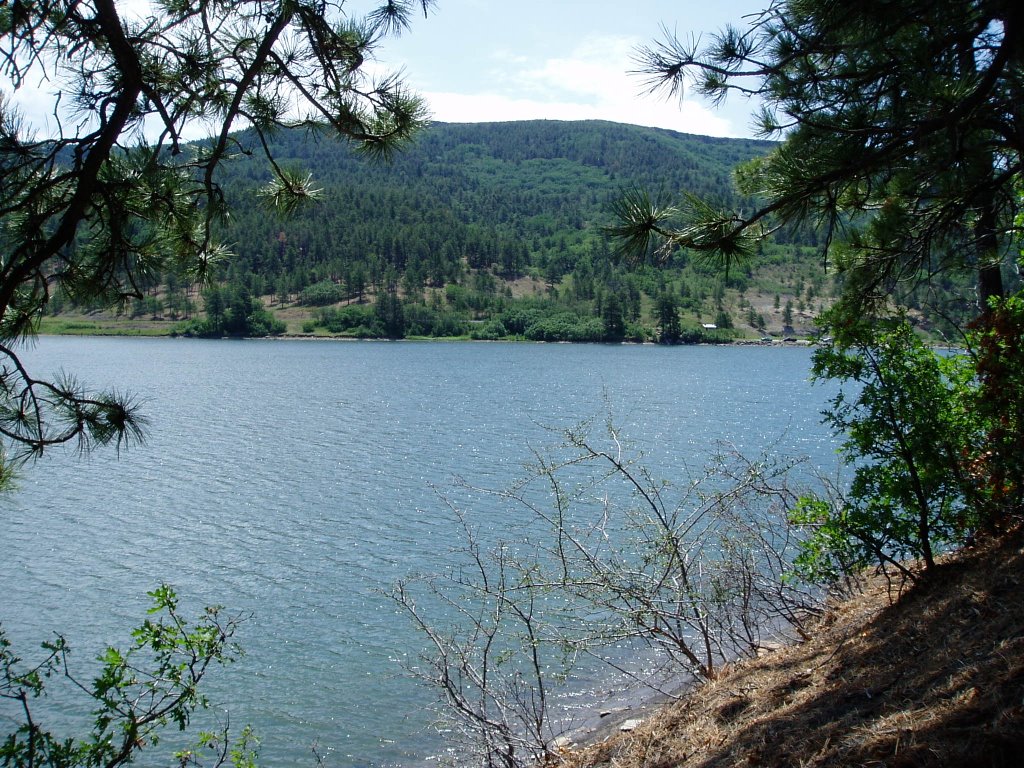
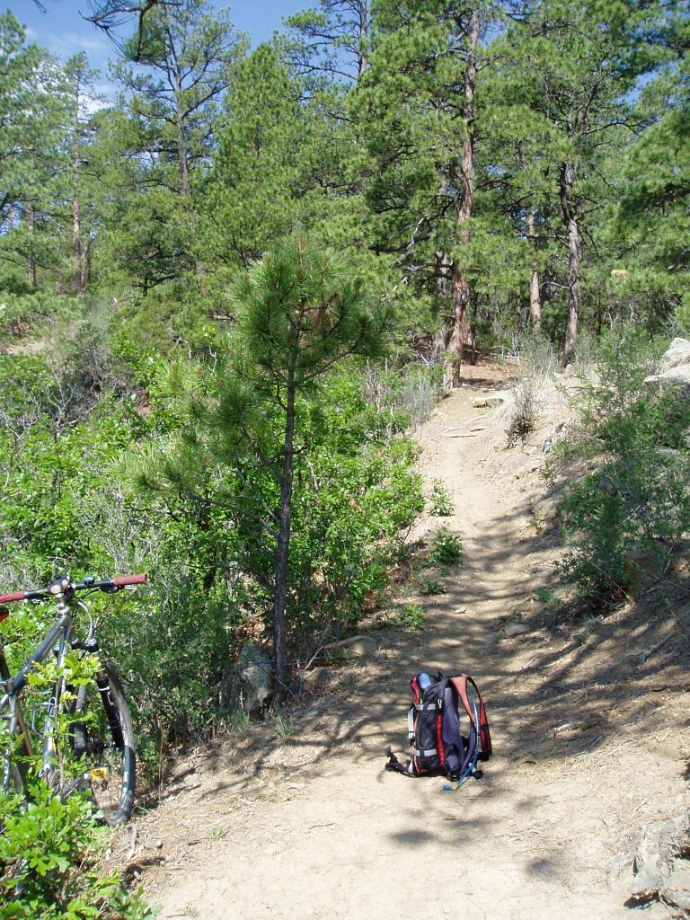
Sugarite Canyon State Park in the Norte de Nuevo MayHeeCoe is the place. Only about 10 minutes east of I-25 at Raton - worth a stop to ride this sweetness. Check in at the entrance to get a map since you could ride for hours and could actually get really lost if you head out onto some of the backcountry trails - which are all (well almost all) open to bikes. There are a couple of close-in loops that will keep you busy for a couple of hours while still keeping you close to your beer cooler. It's a good mix of roots, rock (not much reggae) and there's even an awesome lake to take a swim in (a rare thing in this state). While I was there a few weeks ago, I ran into two riders from Raton and they were actually surprised to see somebody on "their" trails - they told me that they rarely see another mountain bike out there. That
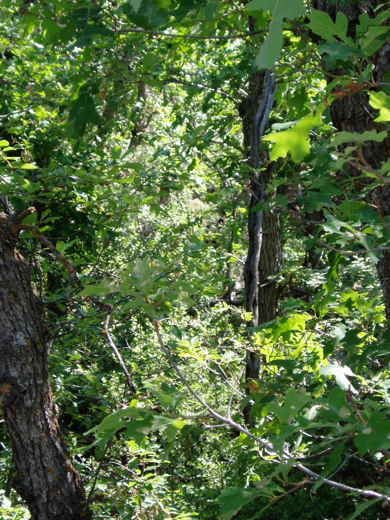
right there makes it worth checking out. Another trail encounter was a big black bear - even though I would have rather run into a big black BEER, it was cool except he watched me for a good 5 minutes through the bushes only about 20 feet away. The picture below that looks like a bunch of bushes is actually a bear peering through the branches - zoom in on it and you can see fuzzy wuzzy right in the middle of the pic.
August 02, 2006

The Dirty Dirt on Taos Dirt - Ojito and South Boundary

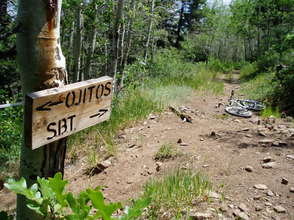
Those who have ridden in many parts in New Mexico will usually agree that the mountain biking in the Taos area is probably the best the state has to offer. There are high alpine meadows and scorching desert rides and everything in between - and Eske's Brewpub for some post-ride recovery fluids . The South Boundary Trail - usually rated as one the top 10 rides in the country runs from Black Lake (near Angel Fire) and ends 25 miles later in Taos. Of all the trails I've ridden over the past 15 years or so, the SB ranks 1st on my list for an "overall" bad-ass ride. Monarch Crest in Salida CO is a better "ride" but the amount of people on that trail ruins it. Porcupine Rim in Moab is another great ride that I would rank a tad higher than the SB, but again, the amount of people out there just kills it.

You will be very lucky to see 10 people on the SB - and most of those will be at the end of the trail near Taos. The typical way to do this ride is to shuttle over to Black Lake, ride the Forest Service road to Osha Pass and cruise to 20 or so (mostly downhill) miles back to Taos. Since I usually do this
ride on my own I will ride it as an out-and-back (usually not all the way out). Since the last few miles of the SB (just outside of Taos) are pretty loose and steep, I usually take a side trail (Ojito) up to a point where it hooks in with the SB. Although there are a few technical sections on the SB - it's really known for it's fast, smooth and swoopy singletrack. Fall is a great
time to do this ride when all the aspens are changing.

July 10, 2006

Gunnison Dirt - "Who's thirsty?"


After three days of depressing weather in CB we decided to head south to the land of milk n' honey - Gunnison. G-spot baby. In the morning we filled up on the "extra special breakfast special" at a local cafe and headed out to Hartman Rock. The trail was great and we even got a decent amount of sun. After riding for about four hours we figured we had ridden almost all of the trails - all of which were super fun and super fast. It was a good call to do this ride since looking up the valley toward CB - it didn't look like the shit storm was letting up any. After considering a Monarch Crest ride the next day, we decided to motor back to NM since it looked shitty up in that direction as well.


no trail - no problem. We were just glad to be out of the rain


Slickrock sweetness


Lots of crazy high speed banked corners


Smooth and dry baby


mountains bad...desert good
Crested Butte Dirt - "Hey man - I think it's clearing up!"

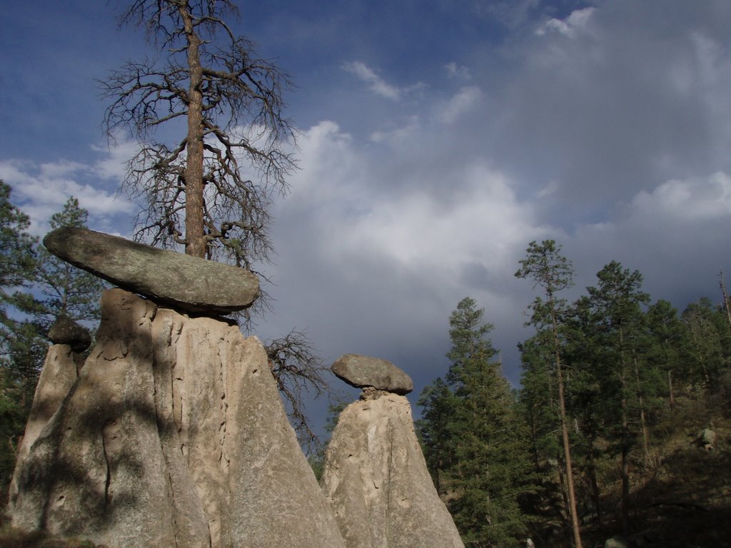
Tarp-bound for three days. I can't think of any better way to spend a long weekend. We came to love the tarps. The tarps were our friends. When we closed our eyes at night, all we saw was blue...yes, blue...... tarps. We picked a bad weekend to try to tackle a few epic rides in Crested Butte - a freak multi-day shit storm stayed over the area for the entire time. We hunkered under the tarps to stay dry and when a patch of "lighter" clouds appeared, one of us would never fail to say "Hey man, I think it's clearing up". It never did. Beers were opened way too early. The first day we managed a 2.5 hour ride in the ridge behind camp and back down a nasty little muddy-as-hell singletrack. By the bottom, everybody needed new brake pads. Day two started with...um....rain! We headed into town for brake pads. While there, we saw our shadows cast by this crazy ball of light in the sky. We busted ass back to camp to grab the bikes but by the time we got there the ball of light turned to small drops of water coming out of the sky and out of the coners of our eyes. Then there was a break - we busted a move and headed out east towards Crystal Peak. Two-hour climb and then the rain came back. Dave K, Kevin and Schnieder headed for the peak and got stopped at the saddle where there was beer, cheap tacos and naked ladies - it was raining so they didn't stay long. Meanwhile Me, John and Dave F. headed back and were dry, tarped up and liquored up.


Who needs blue sky when you got a blue tarp?


Safety meeting


Dave and Dave


The start of something good - if you call steep slick mud "good"


Schneider decided to wear his finest white jersey


The break


Holy shit - the sun


Um....nevermind


Dave, Jeff and Kevin tryin' to saddle-up. (Might want to click to enlarge)

June 27, 2006

Los Alamos Dirt - Fireline Trail - Acid Canyon Loop

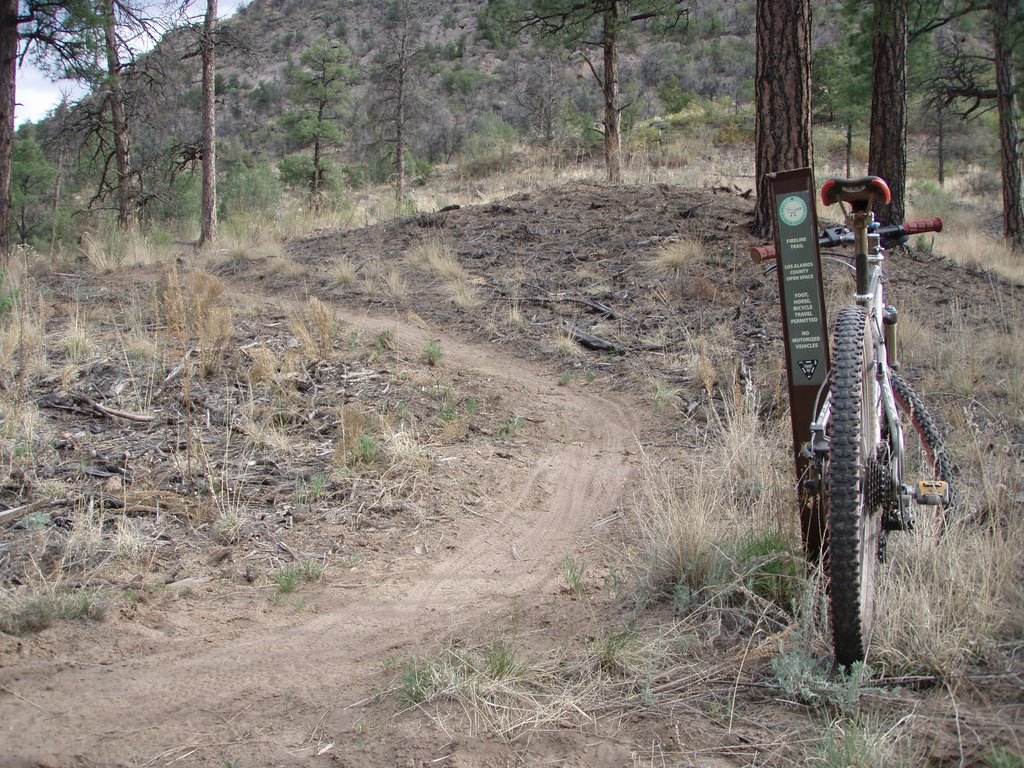
Sometimes it's good to take the low road. East of Los Alamos, into Bayo,Canyon...there it is,
the Fireline Trail. It's new, it's swoopy, it's dusty, it's curvy and it's bad-ass. It's short though. When doing the the Bayo-Acid Canyon loop it's a good way to get off the fire road as you are heading east in Bayo. The sweetness about it - is that you get to check out all the dorky McMansions on the cliff side and just hope and and pray thet you are there when a little mass wasting brings those puppies crashing to the valley floor.

To get there - take the Bayo Canyon trail east from the Los Alamos round about and when you hit the bottom, you'll see it snaking east along the north facing slope of the canyon. It drops you onto the fire road which then takes you to the sewage treatment plant, where, just after that, you will hang a sharp right and head back west up Acid (pueblo) Canyon on a fire road- past the rock penises and up Walnut Canyon and back to town. It's a good 1.5-2 hour loop and you will probably not see anybody - which is always a good thing.


Fireline view...where's the dynamite?


The east end of Fire Line
Acid Canyon is trippy man